
History: Stormwater Drainage Evolution
History: How Storm Has Evolved Over the Years
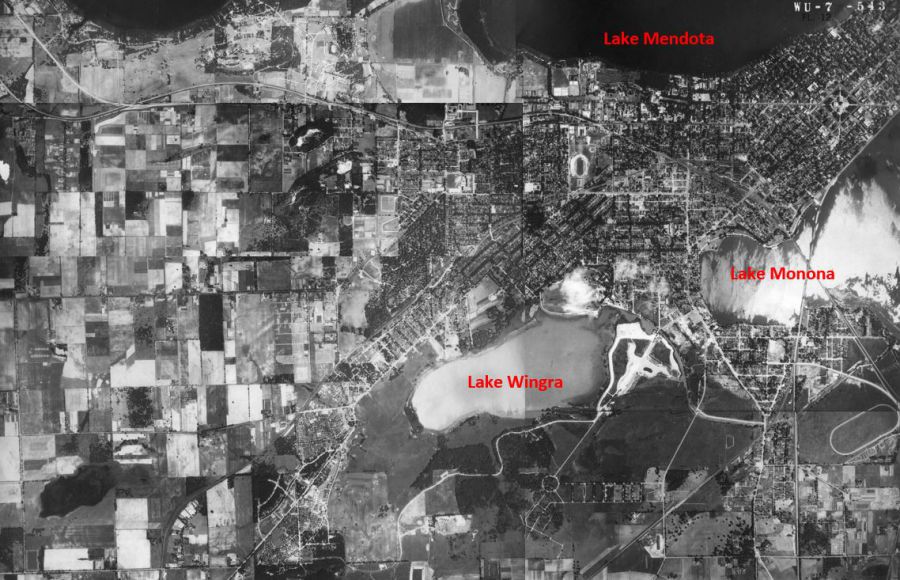
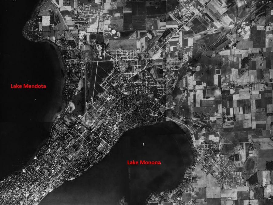
In natural landscapes rainwater soaks into the ground, replenishes groundwater supplies, and filters out contaminants before reaching the lakes. The Madison area was once dominated by prairie and wetland ecosystems which soak up rain water and melting snow.

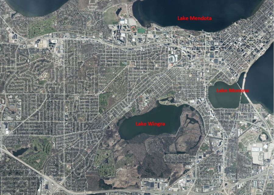
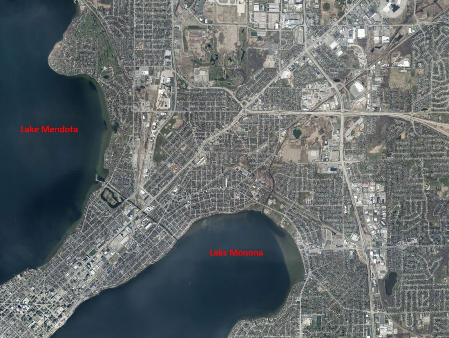
Today, the landscape looks very different. In modern urban environments, stormwater lands on hard, impervious surfaces like streets, buildings and parking lots. Since it can’t soak into the soil, it runs over the ground, picks up pollutants, and drains to the nearest low point — often a storm sewer.
Stormwater design has gone through a number of changes throughout the development of the City of Madison. Original stormwater systems were largely designed using rules of thumb as the City continued to develop. As the insufficiency of these systems became clear, they were fortified and expanded to support an increasingly impervious and populated area.
“Modern” storm sewer design did not begin in earnest until the 1960’s when design tools became available. The water treatment and flood control practices that we take for granted did not become common place until the mid-1980’s.
Detention basins, for example, did not become required in the City of Madison until 1983; they were not required statewide until 2004. Madison’s Stormwater Ordinances and design standards have evolved greatly since 1983 to include infiltration, detention (storage), water quality, and thermal control.
You can learn about how the changing standards impact the system today in the Flash Flooding Resilience StoryMap. *Note: Please view the story map using Firefox or Google Chrome browsers. Story maps are not viewable with Internet Explorer.
A significant portion of the City of Madison was built on filled-in wetlands. These areas are very difficult to drain effectively and were largely developed at a time with limited stormwater design standards. As a result, retrofitting these areas for adequate flood control presents significant challenges. Hydric soils develop in areas that have flooded or been saturated. Therefore, by looking at where hydric soils exist, we know these areas have flooded historically or were wetlands areas. The map below shows where there are hydric soils within the City of Madison. You can learn more about how flooding impacts these areas on the High Lake Level Flooding StoryMap. *Note: Please view the story map using Firefox or Google Chrome browsers. Story maps are not viewable with Internet Explorer.
Hydric soils, shown in blue, develop in areas that have flooded or been saturated. Therefore, by looking at where hydric soils exist, we know these areas have flooded historically. Hydric soils are seen in Madison along the isthmus, Yahara River, around Lake Wingra, University Bay, Starkweather Creek, Wingra Creek, and Fordem Ave.