Open Data
Open Data

City of Madison Datasets
Search & browse datasets & views.

Active Living Index
Active Living Index for Dane County, Wisconsin

Budget
City adopted & capital budgets since 2000.


Search for Liquor License
You can search by Business name (DBA), Corporate Legal name, Aldermanic District, or Address.

Search for Restaurant & Retail Food Store Health Inspections
Reports provide information on the conditions observed by a health inspector at the time of inspection, and may not reflect corrective actions or current condition.

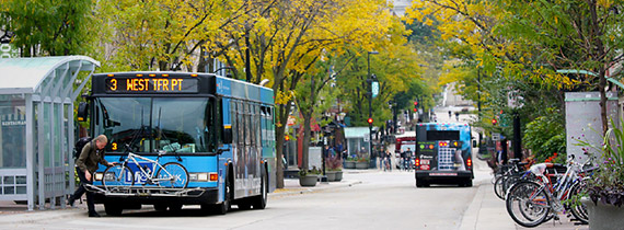
Metro Transit Data
- Bus Schedules
- Real-time Trip Updates, Service Alerts, and Vehicle Positions

Local Health & Population Data for Dane County
Data to assess the health status of Dane County residents and identify important health issues facing Dane County.
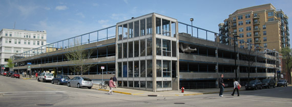
Parking Utility Current Parking Availability
- Vacant stall counts are approximate.
- Please note that the number of vacant stalls can fluctuate quickly.
- Stalls for disabled parkers, metered stalls, and motorcycle stalls are not included in the count of vacant stalls.

Registered Lobbyist Reports
Registration Forms & Principal's Expense Statements Filed.

Neighborhood Indicators Project
With the completion of the 2013 Indicator tabulations, the Neighborhood Indicators project now has 6 years of time-series data for dozens of variables.

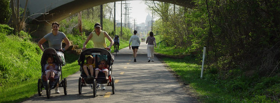
Visual Bike Counter
The counters display the number of daily bicyclists and annual bicyclists who pass it along State Street, the South West Path at Monroe and the Capital City Trail at North Shore Drive. Data is updated once per day.
Social Media Directory
Which City Agencies are active on Social Media.