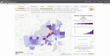
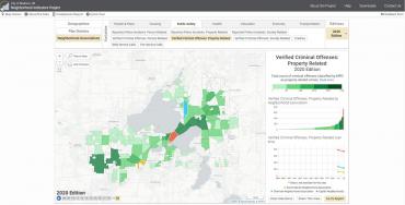
NIP 2020 Edition Released
New data added to Madison’s Neighborhood Indicators Project website
A new set of data (2020 Edition) has been added to the City of Madison’s Neighborhood Indicators Project (NIP)—a tracking system with trend data going back to 2008.
One of the NIP aims has been to shine a light on social inequities that underlie the City’s longstanding pattern of segregation and racial disparities. The NIP’s geographically detailed, time series data illustrate long-term trends in numerous measures of economic and community interest. The new data is also starting to capture some of the social and economic costs of the pandemic especially on the most vulnerable populations.
NIP is a valuable tool for a wide range of entities, such as community-based organizations, non-profits, the business community, and governmental officials and staff. Throughout the pandemic and in its aftermath, NIP data will continue to remain a vital tool for decision makers, community advocates, and grant writers to identify vulnerable communities and work to ensure that available support and resources are directed to the people and places that need them most.
NIP was designed by the City of Madison in partnership with the University of Wisconsin-Madison’s Applied Population Lab.
Interested in learning more about NIP data and the NIP website? The City of Madison Planning Division offers free workshops to local organizations. Please contact Urvashi Martin at umartin@cityofmadison.com for more details.
Contacts
- Urvashi Martin, AICP, Planner, City of Madison Planning Division, umartin@cityofmadison.com

