Free workshops on how to use new Neighborhood Indicators Project website
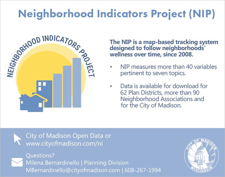
City of Madison’s Neighborhood Indicators Project (NIP) is a tracking system with trend data and maps going back to 2008. NIP has a new website and the latest indicators data are available on this new platform.
City staff are hosting free workshops open to the community, designed to train anyone on how to use NIP using one of your personal devices (laptop, tablet or smartphone) or using one of the computers that will be available on-site (number varies).
The workshops are scheduled for:
- Wednesday, October 10, 5:30-6:30pm (Lussier Community Education Center – CUNA Room, 55 S. Gammon Road)
- Thursday, October 18, 6:00-7:00pm (The Village on Park – Computer Lab, 2300 S. Park Street)
- Wednesday, October 24, 6:00– 7:00pm (Goodman Community Center – Bolz Room B, 149 Waubesa Street)
Please email Milena Bernardinello at mbernardinello@cityofmadison.com if you plan to attend any of these workshops.
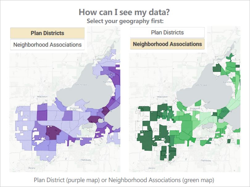
Neighborhood Indicators Project was designed by the City of Madison with the support of the University of Wisconsin-Madison’s Applied Population Lab. The NIP allows users to follow a neighborhood’s wellness over time, and can help users understand changes within Madison neighborhoods. Data can be selected at three different geographies-Plan Districts, Neighborhood Associations, and the City of Madison as a whole.
The NIP is a valuable tool for a wide range of entities, such as community-based organizations, non-profits, the business community, and governmental officials and staff. The data can be used for many purposes including writing grants, and helping neighborhood organizations build capacity in needed areas.
Contacts
- Milena Bernardinello , 608-267-1994, mbernardinello@cityofmadison.com
Images